What is Aerial Mapping
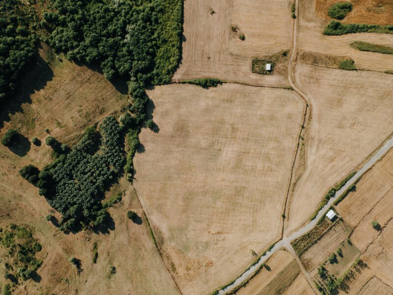
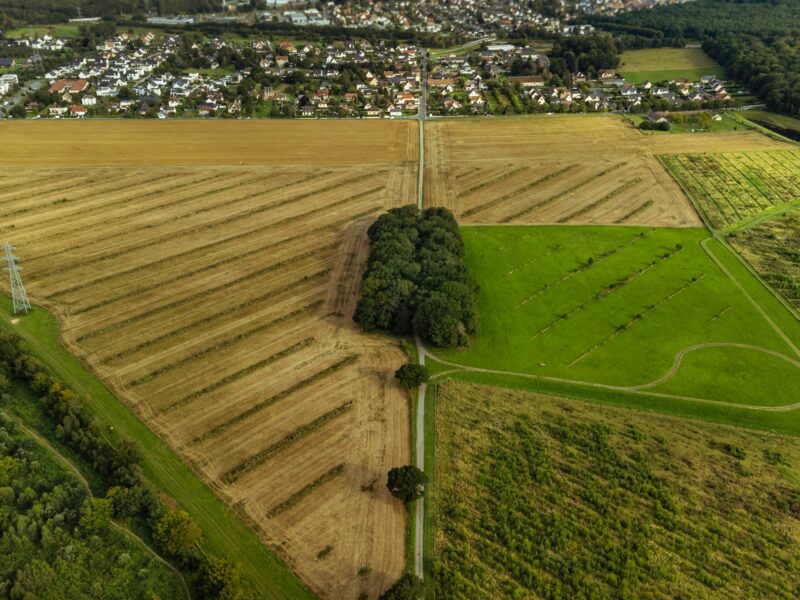
Aerial mapping involves using unmanned aerial vehicles (UAVs), also known as drones, to capture high-resolution images or data of the Earth’s surface from above. The collected data is then processed to create precise maps, 3D models, and other visual representations of areas that may have been challenging to access on foot.


