Roof Surveys
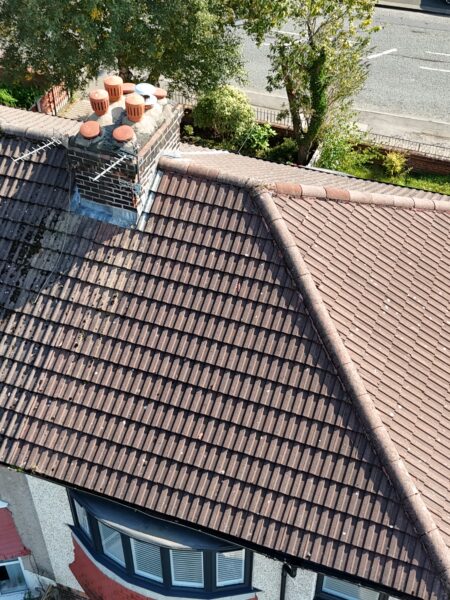
A drone roof survey involves an experienced and certified operator piloting an unmanned aerial vehicle (UAV) around a roof to capture high-quality videos and photos. These images can then be analysed to detect any damage or potential issues.
Asset Inspection
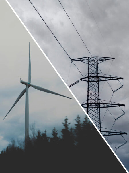
From powerline inspections and wind turbines to railway tracks, property portfolios, and maintenance for buildings or power stations, our services cover a diverse range of structures and needs.
Solar Panel Inspection
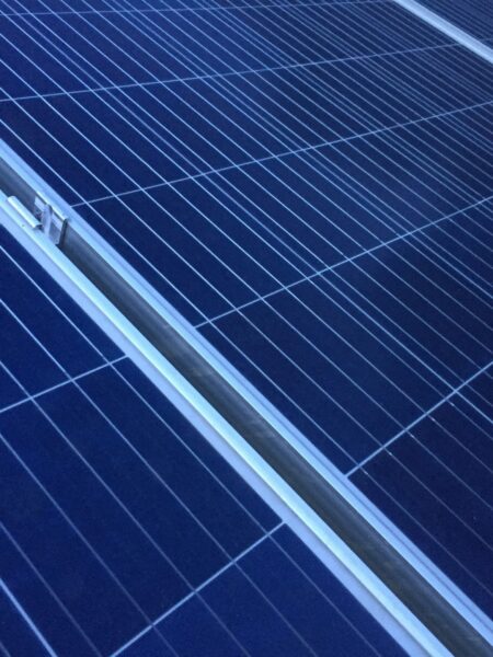
In addition to pre-installation surveys, we offer Solar Panel Inspections, which are much like a car’s MOT. These inspections give experts the chance to carefully examine your solar system and identify any potential problems or issues.
Aerial Photography
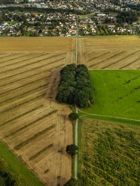
Aerial photography captures ground images from above, offering unique bird's-eye views of landscapes, infrastructure, urban areas, and natural features that aren’t visible from the ground.
Aerial Mapping
An aerial mapping survey collects geographic data from aircraft or drones using cameras or sensors to create accurate maps and 3D models, aiding in applications like urban planning, agriculture, environmental monitoring, and disaster management.
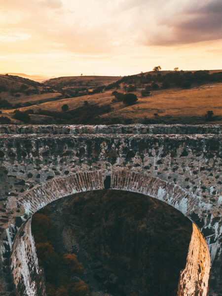
Bridge Inspections
A drone bridge inspection survey uses drones with cameras to quickly and safely assess bridge conditions, capturing detailed images for analysis, improving efficiency and reducing costs compared to traditional methods.
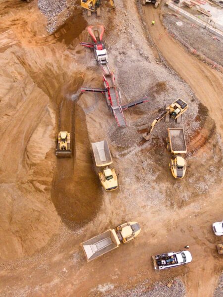
Stockpile Measurements
A stockpile survey assesses and measures materials in a stockpile to estimate their quantity and quality, aiding in inventory management and planning.
Search and Rescue
Search and rescue operations are often unpredictable and challenging. Drones are increasingly used due to their flexibility, adaptability to various environments, and faster response times compared to traditional methods, which is crucial for time-sensitive rescues.


