Aerial Mapping

What is Aerial Mapping

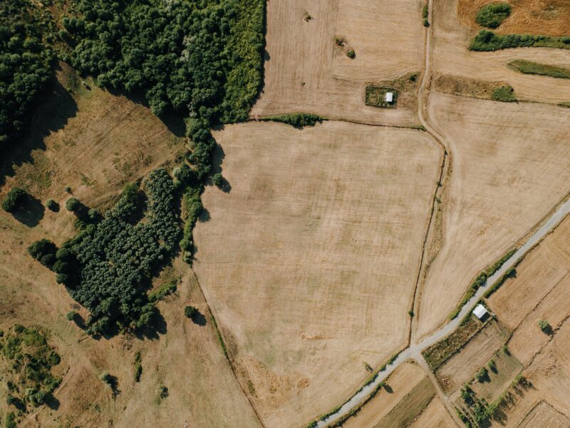
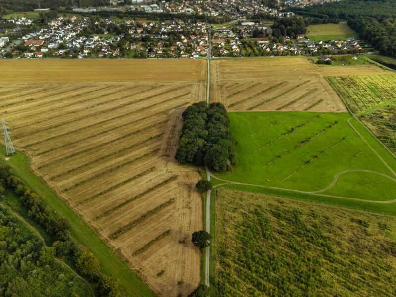
Aerial mapping involves using unmanned aerial vehicles (UAVs), also known as drones, to capture high-resolution images or data of the Earth’s surface from above. The collected data is then processed to create precise maps, 3D models, and other visual representations of areas that may have been challenging to access on foot.

Benefits of Drone Aerial Mapping

Our drones are fitted with high-resolution cameras that capture detailed aerial photographs with survey-grade precision, ensuring maximum detail and accuracy in the final results.

Drones offer a significant advantage over traditional surveying methods by accessing areas previously unreachable, such as quarries and landfill sites. This capability allows us to survey larger areas more efficiently and gather a more extensive data set.

Cut Cost
Enhanced Safety
Increased Speed
Improved Data

Why Pay for Aerial Mapping?

Aerial mapping surveys, using drones provide precise and detailed data of hard-to-reach areas, making them ideal for industries like construction, agriculture, and urban planning. They offer several advantages:

  • Accuracy: Survey-grade precision ensures highly detailed maps and models.
  • Access: Drones can easily reach difficult or hazardous areas, improving safety.
  • Efficiency: Faster data collection over large areas reduces time and costs.
  • Comprehensive Data: Multiple data types are captured for thorough analysis.
  • Better Planning: Enhances project planning and decision-making.
  • Minimal Impact: Less intrusive and environmentally friendly.
  • Scalability: Adaptable to both small and large projects.

Investing in aerial mapping provides a cost-effective, safe, and versatile solution for accurate data collection and improved project management.

Need Aerial Mapping?